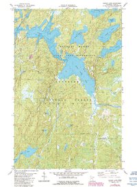
1981 Map of Gabbro Lake
USGS Topo · Published 1986About this map
Boundary Waters Canoe Area Wilderness and the Superior National Forest define this 1980s landscape of the Iron Range region. The area is characterized by an intricate network of waterways, centered on the expansive Gabbro Lake and Bald Eagle Lake. These lakes are connected by a series of portages and drainage systems including Bald Eagle Creek and Nickel Creek.
Find a feature on this map
28 named features on this map. Tap any name to fly to it.
Don’t see what you’re looking for? This feature index may not catch every label — zoom into the map to look around manually.
Map Details
Editions of this 1981 Gabbro Lake Map
2 editions found
Other maps of this area

1954 · Greenwood Lake
USGS Topo · 1:62,500

1954 · Two Harbors
USGS Topo · 1:250,000

1955 · Isabella
USGS Topo · 1:62,500

1957 · Two Harbors
USGS Topo · 1:250,000

1957 · Gabbro Lake
USGS Topo · 1:62,500

1958 · Two Harbors
USGS Topo · 1:250,000

1964 · Two Harbors
USGS Topo · 1:250,000
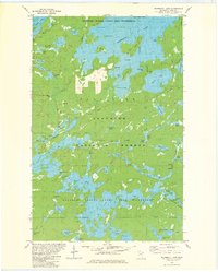
1981 · Snowbank Lake
USGS Topo · 1:24,000
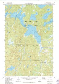
1981 · Gabbro Lake
USGS Topo · 1:24,000
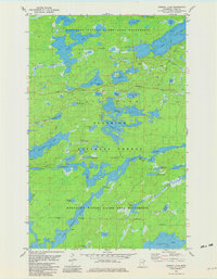
1981 · Ojibway Lake
USGS Topo · 1:24,000