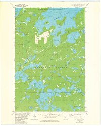
1981 Map of Snowbank Lake
USGS Topo · Published 1981About this map
Snowbank Lake and the interconnected waters of the Boundary Waters Canoe Area Wilderness dominate this northern landscape, which was revised and field checked in the late 1970s. The map illustrates the transition from accessible terrain near Fernberg Road to the primitive interior of the Superior National Forest. While small-scale industrial activity is evident at the Gravel Pits near Fernberg, the map focuses on the navigational complexities of the glacial chain lakes, including One Lake, Lake Two, and Lake Four. These bodies of water are joined by the Kawishiwi River and a network of portages. Numerous islands, such as Fire Island and Burnt Island, provide landmarks for travelers moving through Pickerel Bay and Wilderness Bay. Institutional presence is noted at the Boy Scout Camp on the shores of Moose Lake, serving as a jumping-off point for expeditions into the interior.
Find a feature on this map
58 named features on this map. Tap any name to fly to it.
Don’t see what you’re looking for? This feature index may not catch every label — zoom into the map to look around manually.
Map Details
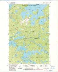
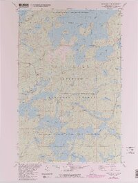
Editions of this 1981 Snowbank Lake Map
3 editions found
Other maps of this area

1954 · Two Harbors
USGS Topo · 1:250,000

1957 · Two Harbors
USGS Topo · 1:250,000

1957 · Gabbro Lake
USGS Topo · 1:62,500

1957 · Ensign Lake
USGS Topo · 1:62,500

1957 · Basswood Lake
USGS Topo · 1:62,500

1957 · Quetico
USGS Topo · 1:250,000

1958 · Two Harbors
USGS Topo · 1:250,000

1964 · Two Harbors
USGS Topo · 1:250,000

1968 · Quetico
USGS Topo · 1:250,000
1976 · Basswood Lake SE
USGS Topo · 1:24,000