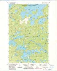
1981 Map of Snowbank Lake
USGS Topo · Published 1986About this map
Boundary Waters Canoe Area Wilderness defines this northern landscape, which was updated in the mid-1980s to reflect a region governed by water and portage. The map centers on the expansive Snowbank Lake and Moose Lake, connected by numerous portage trails such as the Snowbank Trail and Old Pines Trail. These routes highlight the importance of paddle-and-carry transportation in the Superior National Forest, where few roads like Fernberg Road penetrate the interior. Human presence is concentrated at the Boy Scout Camp and various public access points, while the industrial past is marked by several Gravel Pits. The intricate hydrography includes the Kawishiwi River and specialized features like the Lake No 1 Dam, illustrating the managed nature of this wild drainage system during the late twentieth century.
Find a feature on this map
66 named features on this map. Tap any name to fly to it.
Don’t see what you’re looking for? This feature index may not catch every label — zoom into the map to look around manually.
Map Details
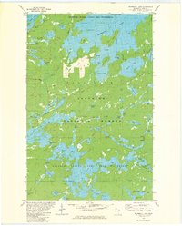
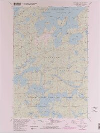
Editions of this 1981 Snowbank Lake Map
3 editions found
Other maps of this area

1954 · Two Harbors
USGS Topo · 1:250,000

1957 · Two Harbors
USGS Topo · 1:250,000

1957 · Gabbro Lake
USGS Topo · 1:62,500

1957 · Ensign Lake
USGS Topo · 1:62,500

1957 · Basswood Lake
USGS Topo · 1:62,500

1957 · Quetico
USGS Topo · 1:250,000

1958 · Two Harbors
USGS Topo · 1:250,000

1964 · Two Harbors
USGS Topo · 1:250,000

1968 · Quetico
USGS Topo · 1:250,000
1976 · Basswood Lake SE
USGS Topo · 1:24,000