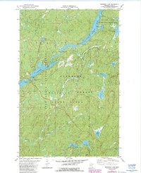
1981 Map of Bogberry Lake
USGS Topo · Published 1986About this map
The South Kawishiwi River dominates this northern Minnesota landscape, winding through a complex network of glacial lakes and portages in Lake County. This 1980s USGS survey documents the intersection of several managed wilderness areas, including the Boundary Waters Canoe Area Wilderness, the Superior National Forest, and the Stony River State Forest. The map detail shows the established South Kawishiwi River Campground and a nearby Experiment Sta (USFS), reflecting the region's long-standing role in forestry research and outdoor recreation.
Find a feature on this map
22 named features on this map. Tap any name to fly to it.
Don’t see what you’re looking for? This feature index may not catch every label — zoom into the map to look around manually.
Map Details
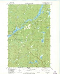
Editions of this 1981 Bogberry Lake Map
2 editions found
Other maps of this area

1933 · Ely
USGS Topo · 1:62,500

1939 · Ely
USGS Topo · 1:62,500

1952 · Babbitt NE
USGS Topo · 1:24,000

1954 · Greenwood Lake
USGS Topo · 1:62,500

1954 · Two Harbors
USGS Topo · 1:250,000

1957 · Two Harbors
USGS Topo · 1:250,000

1957 · Gabbro Lake
USGS Topo · 1:62,500

1958 · Two Harbors
USGS Topo · 1:250,000

1964 · Two Harbors
USGS Topo · 1:250,000
1965 · Ely
USGS Topo · 1:24,000