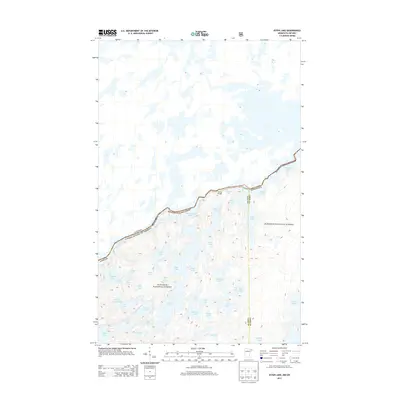
2013 Map of Ester Lake
USGS Topo · Published 2013About this map
Superior National Forest defines the topography of this remote borderland, where the boundary between the United States and Canada cuts through a complex network of glacial waters. The map centers on the transition from Ottertrack Lake and Saganaga Lake southward into a dense cluster of smaller basins including Ester Lake, Hanson Lake, and the poetically named Lake of the Clouds. Unlike developed regions, this area remains characterized by its reliance on traditional water routes, highlighted by the presence of Swamp Portage connecting Swamp Lake to the higher elevations of the interior.
Find a feature on this map
41 named features on this map. Tap any name to fly to it.
Don’t see what you’re looking for? This feature index may not catch every label — zoom into the map to look around manually.
Map Details
Editions of this 2013 Ester Lake Map
This is the sole edition of this map. No revisions or reprints were ever made.
Other maps of this area

1957 · Quetico
USGS Topo · 1:250,000

1959 · Munker Island
USGS Topo · 1:24,000

1959 · Ogishkemuncie Lake
USGS Topo · 1:24,000

1959 · Kekekabic Lake
USGS Topo · 1:24,000

1959 · Dutton Lake
USGS Topo · 1:24,000

1959 · Gillis Lake
USGS Topo · 1:24,000

1959 · Ester Lake
USGS Topo · 1:24,000

1968 · Quetico
USGS Topo · 1:250,000

1976 · Saganaga Lake
USGS Topo · 1:100,000

1977 · Basswood Lake
USGS Topo · 1:100,000