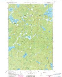
1960 Map of Kawishiwi Lake
USGS Topo · Published 1986About this map
Superior National Forest and the Boundary Waters Canoe Area Wilderness define this mid-century landscape of the Iron Range. Based on 1958 and 1960 fieldwork with 1980s updates, the map details a complex hydrographic network including Kawishiwi Lake and the Kawishiwi Lake Campground. The area is characterized by an intricate system of interconnected water bodies such as Kawasachong Lake, Phoebe Lake, and Perent Lake, linked by small watercourses like Bill Creek and Hog Creek. Significant for recreation and wilderness management, the data reflects the preservation efforts of the State of Minnesota and the Iron Range Resources and Rehabilitation Commission. Local nomenclature is preserved through unique labels like Poet Lake, Cat Eyes Lake, and Gobetween Lake, illustrating the specific geography of Lake and Cook Counties.
Find a feature on this map
37 named features on this map. Tap any name to fly to it.
Don’t see what you’re looking for? This feature index may not catch every label — zoom into the map to look around manually.
Map Details
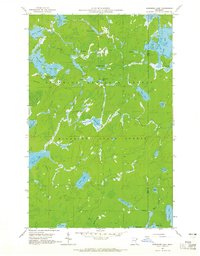
Editions of this 1960 Kawishiwi Lake Map
3 editions found
Other maps of this area

1954 · Two Harbors
USGS Topo · 1:250,000

1955 · Tofte
USGS Topo · 1:62,500

1955 · Cramer
USGS Topo · 1:62,500

1957 · Two Harbors
USGS Topo · 1:250,000

1958 · Two Harbors
USGS Topo · 1:250,000

1960 · Lake Polly
USGS Topo · 1:24,000

1960 · Kawishiwi Lake
USGS Topo · 1:24,000

1960 · Perent Lake
USGS Topo · 1:24,000

1960 · Beth Lake
USGS Topo · 1:24,000
1960 · Kelso Mountain
USGS Topo · 1:24,000