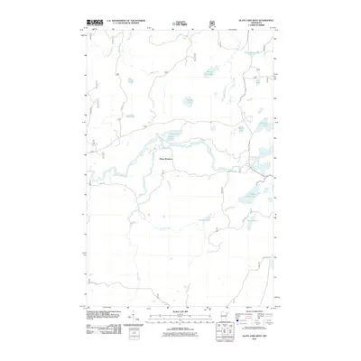
2011 Map of Slate Lake West
USGS Topo · Published 2011About this map
Happy Wanderer serves as a lone named focal point in this remote pocket of Lake County, where a intricate network of boreal water bodies defines the terrain. The northern reaches are characterized by the flow of Nira Creek and Harris Creek, leading into small basins such as Beaver Hut Lake and Little Spring Lake. The central landscape is dominated by the wandering course of the Stony River, which connects several smaller pools including Chow Lake and Fran Lake.
Find a feature on this map
26 named features on this map. Tap any name to fly to it.
Don’t see what you’re looking for? This feature index may not catch every label — zoom into the map to look around manually.
Map Details
Editions of this 2011 Slate Lake West Map
This is the sole edition of this map. No revisions or reprints were ever made.
Other maps of this area

1933 · Ely
USGS Topo · 1:62,500

1939 · Ely
USGS Topo · 1:62,500

1952 · Babbitt SE
USGS Topo · 1:24,000

1952 · Babbitt NE
USGS Topo · 1:24,000

1954 · Greenwood Lake
USGS Topo · 1:62,500

1954 · Two Harbors
USGS Topo · 1:250,000

1957 · Two Harbors
USGS Topo · 1:250,000

1957 · Gabbro Lake
USGS Topo · 1:62,500

1958 · Two Harbors
USGS Topo · 1:250,000

1964 · Two Harbors
USGS Topo · 1:250,000