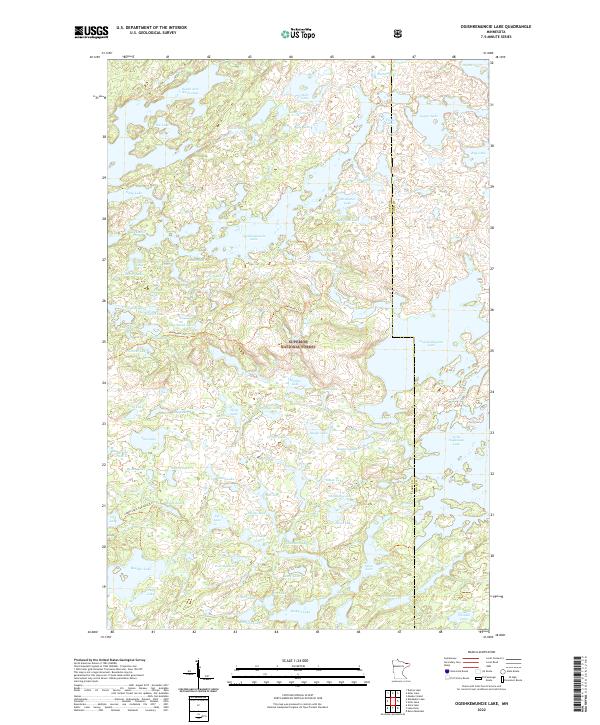
2022 Map of Ogishkemuncie Lake
USGS Topo · Published 2022About this map
Superior National Forest defines this roadless wilderness on the border of Lake Co and Cook Co. The landscape is a dense network of glacially-carved water bodies, dominated by the sprawling Ogishkemuncie Lake and the northern reach of South Arm Knife Lake. This is a terrain for backcountry travel, where traversals are marked by the Kekekabic Tri and the Ledge Lake-Cap Lake Tri rather than traditional roads. The names across the water-rich topography—from Jasper Lake and Alpine Lake in the northeast to the smaller Kekekabic Ponds and Serpent Lake—trace a geography of exploration and portage. Moving through the center of the sheet, Bushman Lake, Skindance Lake, and Mueller Lake form a chain of waterways within the forest's protected boundaries, illustrating the complex drainage patterns of this northern borderland.
Find a feature on this map
77 named features on this map. Tap any name to fly to it.
Don’t see what you’re looking for? This feature index may not catch every label — zoom into the map to look around manually.
Map Details
Editions of this 2022 Ogishkemuncie Lake Map
This is the sole edition of this map. No revisions or reprints were ever made.
Other maps of this area

1954 · Two Harbors
USGS Topo · 1:250,000

1957 · Two Harbors
USGS Topo · 1:250,000

1957 · Quetico
USGS Topo · 1:250,000

1958 · Two Harbors
USGS Topo · 1:250,000

1959 · Munker Island
USGS Topo · 1:24,000

1959 · Ogishkemuncie Lake
USGS Topo · 1:24,000

1959 · Kekekabic Lake
USGS Topo · 1:24,000

1959 · Dutton Lake
USGS Topo · 1:24,000

1959 · Gillis Lake
USGS Topo · 1:24,000

1959 · Ester Lake
USGS Topo · 1:24,000