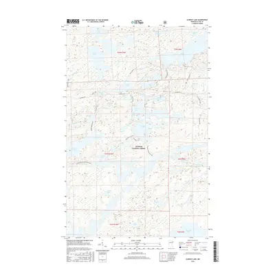
2016 Map of Ojibway Lake
USGS Topo · Published 2016About this map
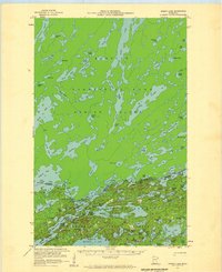
Superior National Forest defines the landscape of this northern Minnesota interior, where a complex network of glacial lakes and river systems dominates the terrain. The Kawishiwi River winds through the central portion of the sheet, connecting with larger bodies like Moose Lake and Ojibway Lake. Modern recreational infrastructure is visible via the Triangle Ski Trail and Triangle Ski B, reflecting the area's transition into a protected wilderness and outdoor destination. Transportation through the woods is marked by traditional routes such as Fernberg Road and the Canadian Border Road, alongside more specialized paths like Madden Greenstone. The map provides a detailed view of the numerous smaller water features that shape the region, including Jasper Lake, Tofte Lake, and several secluded basins like Glacier Pond and Refuge Pond.
Find a feature on this map
54 named features on this map. Tap any name to fly to it.
Don’t see what you’re looking for? This feature index may not catch every label — zoom into the map to look around manually.
Map Details
Editions of this 2016 Ojibway Lake Map
This is the sole edition of this map. No revisions or reprints were ever made.
Other maps of this area
1954 · Two Harbors
USGS Topo · 1:250,000
1957 · Two Harbors
USGS Topo · 1:250,000
1957 · Gabbro Lake
USGS Topo · 1:62,500
1957 · Ensign Lake
USGS Topo · 1:62,500
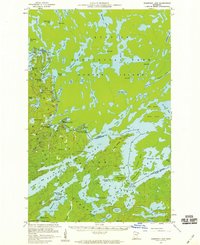
1957 · Basswood Lake
USGS Topo · 1:62,500
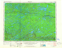
1957 · Quetico
USGS Topo · 1:250,000
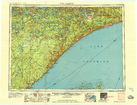
1958 · Two Harbors
USGS Topo · 1:250,000
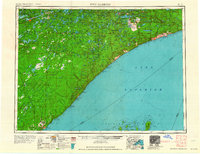
1964 · Two Harbors
USGS Topo · 1:250,000
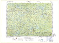
1968 · Quetico
USGS Topo · 1:250,000
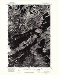
1976 · Basswood Lake SW
USGS Topo · 1:24,000