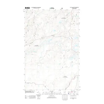
2013 Map of Slate Lake West
USGS Topo · Published 2013About this map
Stony River winds through the heart of this Northwoods landscape, anchoring a complex drainage system within the Superior National Forest. This 2013 survey illustrates a region dominated by glacial lakes and narrow forest access routes, where transportation is defined by established corridors like State Hwy 1 and the winding New Tomahawk Rd. The map reveals a dense network of water bodies, including the twin basins of W Chub Lake and E Chub Lake, along with more remote features such as Jackpot Lake and Beaver Hut Lake. The presence of specialized routes like the Kelly Trl and Pitcha Lk Rd suggests a landscape managed for both timber and recreation, where small tributaries like Nip Creek and Jackpot Cr feed into the larger river systems that shaped this corner of Lake County.
Find a feature on this map
33 named features on this map. Tap any name to fly to it.
Don’t see what you’re looking for? This feature index may not catch every label — zoom into the map to look around manually.
Map Details
Editions of this 2013 Slate Lake West Map
This is the sole edition of this map. No revisions or reprints were ever made.
Other maps of this area

1933 · Ely
USGS Topo · 1:62,500

1939 · Ely
USGS Topo · 1:62,500

1952 · Babbitt SE
USGS Topo · 1:24,000

1952 · Babbitt NE
USGS Topo · 1:24,000

1954 · Greenwood Lake
USGS Topo · 1:62,500

1954 · Two Harbors
USGS Topo · 1:250,000

1957 · Two Harbors
USGS Topo · 1:250,000

1957 · Gabbro Lake
USGS Topo · 1:62,500

1958 · Two Harbors
USGS Topo · 1:250,000

1964 · Two Harbors
USGS Topo · 1:250,000