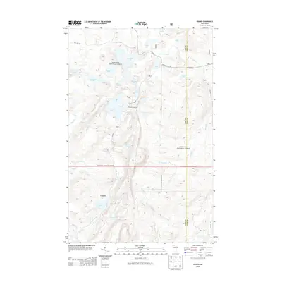
2013 Map of Cramer
USGS Topo · Published 2013About this map
Cramer stands as a small settlement within the sweeping landscape of the Superior National Forest, where the topography is defined by a dense network of glacial lakes and river headwaters. The map reveals a transition between deep forest management and recreational access, centered around the Ninemile Campground and the substantial waters of Ninemile Lake. Numerous smaller bodies of water, such as Kowalski Lake, Paccini Lake, and Thunderbird Lake, are connected by a web of forest roads including Cramer Rd and Hoist Lake Rd. The southern portion of the quadrangle is marked by the drainage systems of the Manitou River and Caribou River, illustrating the hydrology of the North Shore highlands during this period of the early 21st century.
Find a feature on this map
36 named features on this map. Tap any name to fly to it.
Don’t see what you’re looking for? This feature index may not catch every label — zoom into the map to look around manually.
Map Details
Editions of this 2013 Cramer Map
This is the sole edition of this map. No revisions or reprints were ever made.
Other maps of this area

1954 · Two Harbors
USGS Topo · 1:250,000

1955 · Schroeder
USGS Topo · 1:24,000

1955 · Tofte
USGS Topo · 1:62,500

1955 · Cramer
USGS Topo · 1:62,500

1956 · Little Marais
USGS Topo · 1:24,000

1956 · Finland
USGS Topo · 1:24,000

1956 · Finland
USGS Topo · 1:62,500

1957 · Two Harbors
USGS Topo · 1:250,000

1958 · Two Harbors
USGS Topo · 1:250,000

1964 · Two Harbors
USGS Topo · 1:250,000