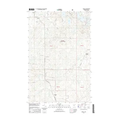
2016 Map of Isabella
USGS Topo · Published 2016About this map
Isabella sits within the dense woodlands of the Superior National Forest, serving as a central point in this network of timber roads and glacial lakes. The landscape is defined by the headwaters of the Little Isabella River and the Manitou River, which wind through a mosaic of wetlands and ridges. Small settlements like Manitou Junction and Murphy City are connected by a system of legacy logging grades and forest routes, including the General Grade and Ann Moen Road, which hint at the region's long-standing forestry history.
Find a feature on this map
40 named features on this map. Tap any name to fly to it.
Don’t see what you’re looking for? This feature index may not catch every label — zoom into the map to look around manually.
Map Details
Editions of this 2016 Isabella Map
This is the sole edition of this map. No revisions or reprints were ever made.
Other maps of this area
1954 · Silver Bay
USGS Topo · 1:62,500
1954 · Two Harbors
USGS Topo · 1:250,000
1955 · Isabella
USGS Topo · 1:62,500
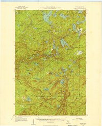
1955 · Cramer
USGS Topo · 1:62,500
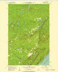
1956 · Finland
USGS Topo · 1:24,000
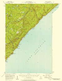
1956 · Finland
USGS Topo · 1:62,500
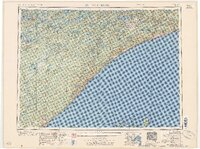
1957 · Two Harbors
USGS Topo · 1:250,000
1958 · Two Harbors
USGS Topo · 1:250,000
1964 · Two Harbors
USGS Topo · 1:250,000
1976 · Two Harbors
USGS Topo · 1:100,000