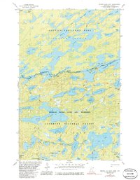
1981 Map of Ensign Lake East
USGS Topo · Published 1986About this map
The international border between Minnesota and Ontario bisects this intricate landscape of interconnected waterways and portages. Anchored by the expansive Knife Lake and Ensign Lake, the area is defined by its role as a protected wilderness, split between the Boundary Waters Canoe Area Wilderness in the Superior National Forest and Quetico Provincial Park to the north. Named landmarks like Robbins Island and the Isles of Pine emerge from the deep blue of the larger lakes, while a network of smaller bodies like Trident Lake, Neglige Lake, and Vera Lake are linked by established portage routes. In the north, Hunter Island Lake surrounds Hunter Island, illustrating the complex glacial hydrography of the Quetico-Superior region. This survey captures the region just before the mid-1980s, highlighting the primitive transportation routes like the Snowbank Trail that provide access to this roadless interior.
Find a feature on this map
66 named features on this map. Tap any name to fly to it.
Don’t see what you’re looking for? This feature index may not catch every label — zoom into the map to look around manually.
Map Details
Editions of this 1981 Ensign Lake East Map
2 editions found
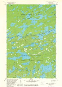
Other maps of this area

1954 · Two Harbors
USGS Topo · 1:250,000

1957 · Two Harbors
USGS Topo · 1:250,000

1957 · Ensign Lake
USGS Topo · 1:62,500

1957 · Quetico
USGS Topo · 1:250,000

1958 · Two Harbors
USGS Topo · 1:250,000

1959 · Kekekabic Lake
USGS Topo · 1:24,000

1959 · Dutton Lake
USGS Topo · 1:24,000

1960 · Alice Lake
USGS Topo · 1:24,000

1964 · Two Harbors
USGS Topo · 1:250,000

1968 · Quetico
USGS Topo · 1:250,000