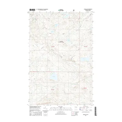
2016 Map of Cabin Lake
USGS Topo · Published 2016About this map
The Manitou River and its various branches dominate this portion of the Superior National Forest, illustrating a landscape defined by an intricate network of waterways and glacial lakes. This 2016 survey captures a region primarily utilized for timber and recreation, where namesake features like Cabin Lake and Bluebill Lake are connected by forest routes such as Tomahawk and the General Grade. The presence of Cramer Homestead Lake in the southern portion suggests the footprint of early settlers in this remote woodland. Other notable landmarks including the Manitou Overlook and Divide Lake emphasize the elevation changes and hydraulic divides that characterize the northern woods of Lake County. Local history is etched into the landscape through labels like Wanless Road and Roger Koster Road, indicating the human infrastructure supporting the management of these vast timberlands.
Find a feature on this map
35 named features on this map. Tap any name to fly to it.
Don’t see what you’re looking for? This feature index may not catch every label — zoom into the map to look around manually.
Map Details
Editions of this 2016 Cabin Lake Map
This is the sole edition of this map. No revisions or reprints were ever made.
Other maps of this area

1954 · Silver Bay
USGS Topo · 1:62,500

1954 · Two Harbors
USGS Topo · 1:250,000

1955 · Isabella
USGS Topo · 1:62,500

1955 · Cramer
USGS Topo · 1:62,500

1956 · Little Marais
USGS Topo · 1:24,000

1956 · Finland
USGS Topo · 1:24,000

1956 · Finland
USGS Topo · 1:62,500

1957 · Two Harbors
USGS Topo · 1:250,000

1958 · Two Harbors
USGS Topo · 1:250,000

1964 · Two Harbors
USGS Topo · 1:250,000