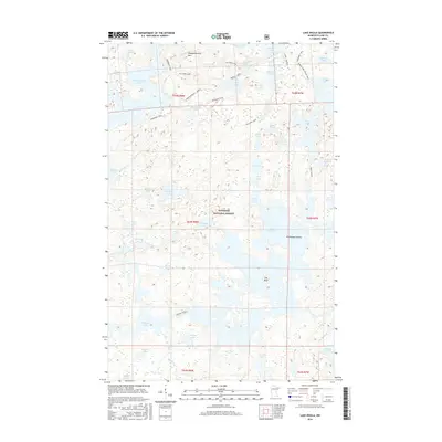
2016 Map of Lake Insula
USGS Topo · Published 2016About this map
Superior National Forest defines the character of this northern wilderness, where a complex network of glacial lakes and portage trails facilitates travel through the back country. The vast waters of Lake Insula dominate the eastern half of the map, featuring prominent landmarks like Williamson Island and The Rock. To the northwest, the elevation rises toward Disappointment Mtn, a significant high point overlooking Disappointment Lake.
Find a feature on this map
59 named features on this map. Tap any name to fly to it.
Don’t see what you’re looking for? This feature index may not catch every label — zoom into the map to look around manually.
Map Details
Editions of this 2016 Lake Insula Map
This is the sole edition of this map. No revisions or reprints were ever made.
Other maps of this area

1954 · Two Harbors
USGS Topo · 1:250,000

1957 · Two Harbors
USGS Topo · 1:250,000

1957 · Ensign Lake
USGS Topo · 1:62,500

1957 · Quetico
USGS Topo · 1:250,000

1958 · Two Harbors
USGS Topo · 1:250,000

1959 · Kekekabic Lake
USGS Topo · 1:24,000

1960 · Perent Lake
USGS Topo · 1:24,000

1960 · Alice Lake
USGS Topo · 1:24,000

1964 · Two Harbors
USGS Topo · 1:250,000

1968 · Quetico
USGS Topo · 1:250,000