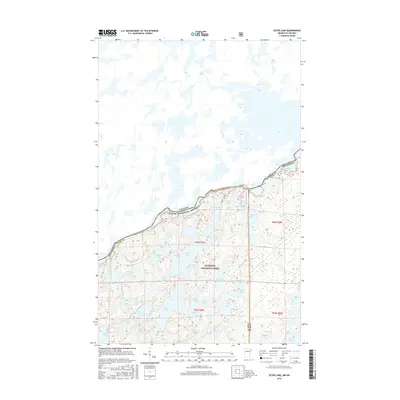
2016 Map of Ester Lake
USGS Topo · Published 2016About this map
Ottertrack Lake and the international boundary between Minnesota and Ontario define this remote wilderness landscape within the Superior National Forest. This 2016 survey highlights a dense network of interconnected waterways and glacial basins that have long served as primary travel corridors through the Border Lakes region. The map tracks the jagged shoreline of Saganaga Lake and Mud Bay in the north, transitioning into a labyrinth of smaller interior lakes like Ester Lake, Mist Lake, and Lake of the Clouds. The absence of roads underscores the area's character as a protected primitive environment, where topography is dictated by the high ridges separating Cherry Lake and Hanson Lake. Researchers can trace the precise division between Cook and Lake counties as it intersects with the United States-Canada border.
Find a feature on this map
46 named features on this map. Tap any name to fly to it.
Don’t see what you’re looking for? This feature index may not catch every label — zoom into the map to look around manually.
Map Details
Editions of this 2016 Ester Lake Map
This is the sole edition of this map. No revisions or reprints were ever made.
Other maps of this area

1957 · Quetico
USGS Topo · 1:250,000

1959 · Munker Island
USGS Topo · 1:24,000

1959 · Ogishkemuncie Lake
USGS Topo · 1:24,000

1959 · Kekekabic Lake
USGS Topo · 1:24,000

1959 · Dutton Lake
USGS Topo · 1:24,000

1959 · Gillis Lake
USGS Topo · 1:24,000

1959 · Ester Lake
USGS Topo · 1:24,000

1968 · Quetico
USGS Topo · 1:250,000

1976 · Saganaga Lake
USGS Topo · 1:100,000

1977 · Basswood Lake
USGS Topo · 1:100,000