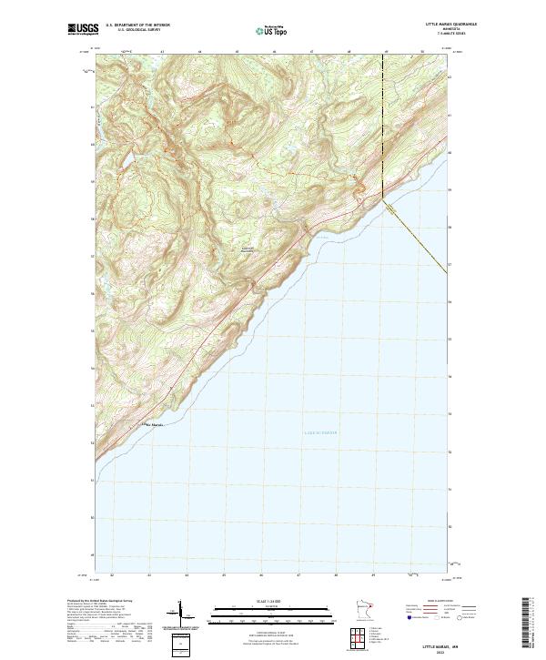
2022 Map of Little Marais
USGS Topo · Published 2022About this map
Lake Superior dominates the southeastern quadrant of this coastal survey, where the North Shore terrain rises sharply toward the Sawtooth Mountains. The settlement of Little Marais sits at the southwestern edge of the sheet, serving as a landmark for the transition from the lakefront to the higher elevations inland. The map details a landscape defined by its waterways, including the Caribou River with its namesake Caribou Falls, and the Manitou River which flows from the vicinity of Benson Lake. Transportation across this varied topography is documented via Cramer Rd and Co Rd 6, which navigate the rises and falls of the coastal ridges. The border between Cook and Lake Counties is clearly demarcated, showing the jurisdictional divide along this stretch of the Minnesota shoreline just north of Pork Bay.
Find a feature on this map
17 named features on this map. Tap any name to fly to it.
Don’t see what you’re looking for? This feature index may not catch every label — zoom into the map to look around manually.
Map Details
Editions of this 2022 Little Marais Map
This is the sole edition of this map. No revisions or reprints were ever made.
Other maps of this area

1954 · Two Harbors
USGS Topo · 1:250,000

1955 · Schroeder
USGS Topo · 1:24,000

1955 · Tofte
USGS Topo · 1:62,500

1955 · Cramer
USGS Topo · 1:62,500

1956 · Little Marais
USGS Topo · 1:24,000

1956 · Finland
USGS Topo · 1:24,000

1956 · Finland
USGS Topo · 1:62,500

1956 · Illgen City
USGS Topo · 1:24,000

1957 · Two Harbors
USGS Topo · 1:250,000

1958 · Two Harbors
USGS Topo · 1:250,000