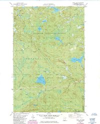
1982 Map of Cabin Lake
USGS Topo · Published 1985About this map
Finland State Forest and the Superior National Forest define the wild, densely wooded character of this Lake County region as it appeared in the early 1980s. The landscape is dominated by a complex network of glacial lakes and waterways, including Moose Lake, Cabin Lake, and the winding Manitou River. Evidence of former timber and transport activity is visible through labeled corridors like the Old Railroad Grade and the General Grade, which cut across the terrain north of the Crystal Bay township line. These old routes, alongside several noted Gravel Pit locations, point to a history of resource extraction and rugged access roads. To the south, the Cramer Homestead and the borders of George H Crosby Manitou State Park mark the transition toward the Lake Superior highlands, where the South Branch and Moose Creek converge.
Find a feature on this map
32 named features on this map. Tap any name to fly to it.
Don’t see what you’re looking for? This feature index may not catch every label — zoom into the map to look around manually.
Map Details
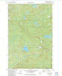
Editions of this 1982 Cabin Lake Map
2 editions found
Other maps of this area

1954 · Silver Bay
USGS Topo · 1:62,500

1954 · Two Harbors
USGS Topo · 1:250,000

1955 · Isabella
USGS Topo · 1:62,500

1955 · Cramer
USGS Topo · 1:62,500

1956 · Little Marais
USGS Topo · 1:24,000

1956 · Finland
USGS Topo · 1:24,000

1956 · Finland
USGS Topo · 1:62,500

1957 · Two Harbors
USGS Topo · 1:250,000

1958 · Two Harbors
USGS Topo · 1:250,000

1964 · Two Harbors
USGS Topo · 1:250,000