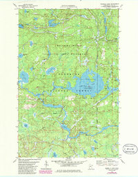
1981 Map of Isabella Lake
USGS Topo · Published 1986About this map
Isabella Lake anchors this portion of the Boundary Waters Canoe Area Wilderness within the Superior National Forest. This 1980s landscape is defined by its intricate aquatic network, where the Isabella River and Perent River weave through a terrain of marshes and dense forests. The mapping reflects a preserved wilderness state, with dozens of smaller bodies of water like Nine AM Lake, Lunch Lake, and Sapphire Lake linked only by portage paths. Unlike more developed regions, the absence of highways or permanent settlements highlights the area's role as a restricted conservation zone. Outdoor historians and wilderness researchers can trace the Powwow Trail as it skirts the northern lakes, including Hump Lake and South Wilder Lake, illustrating the primitive transportation infrastructure of the Lake Isabella State Forest during this era.
Find a feature on this map
35 named features on this map. Tap any name to fly to it.
Don’t see what you’re looking for? This feature index may not catch every label — zoom into the map to look around manually.
Map Details
Editions of this 1981 Isabella Lake Map
2 editions found
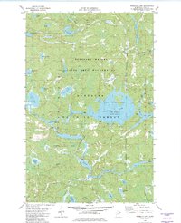
Other maps of this area

1954 · Two Harbors
USGS Topo · 1:250,000

1955 · Isabella
USGS Topo · 1:62,500

1955 · Cramer
USGS Topo · 1:62,500

1957 · Two Harbors
USGS Topo · 1:250,000

1958 · Two Harbors
USGS Topo · 1:250,000

1960 · Perent Lake
USGS Topo · 1:24,000

1960 · Alice Lake
USGS Topo · 1:24,000

1964 · Two Harbors
USGS Topo · 1:250,000
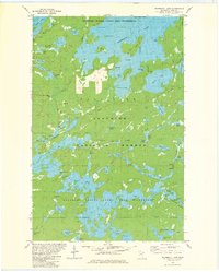
1981 · Snowbank Lake
USGS Topo · 1:24,000
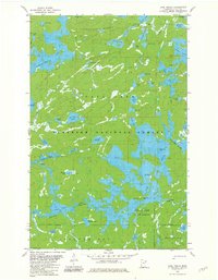
1981 · Lake Insula
USGS Topo · 1:24,000