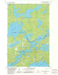
1981 Map of Ensign Lake West
USGS Topo · Published 1986About this map
Prairie Portage serves as a vital historical nexus along the international boundary, connecting the waters of Birch Lake and Sucker Lake within this northern wilderness. As it appeared in the late 1970s and early 1980s, the map documents the administrative and recreational infrastructure of the Boundary Waters Canoe Area Wilderness and Quetico Provincial Park. The presence of a Ranger Cabin and a Port of Entry at the narrows between Inlet Bay and Basswood Lake highlights the managed nature of this transborder landscape. Numerous portage routes and island features like Green Island and Sunday Island delineate the traditional travel corridors used by canoeists. The dense network of water bodies, including Ensign Lake and Newfound Lake, illustrates a complex glaciated terrain where land is defined by its proximity to water and established wilderness boundaries.
Find a feature on this map
62 named features on this map. Tap any name to fly to it.
Don’t see what you’re looking for? This feature index may not catch every label — zoom into the map to look around manually.
Map Details
Editions of this 1981 Ensign Lake West Map
2 editions found
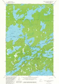
Other maps of this area

1954 · Two Harbors
USGS Topo · 1:250,000

1957 · Two Harbors
USGS Topo · 1:250,000

1957 · Gabbro Lake
USGS Topo · 1:62,500

1957 · Ensign Lake
USGS Topo · 1:62,500

1957 · Basswood Lake
USGS Topo · 1:62,500

1957 · Quetico
USGS Topo · 1:250,000

1958 · Two Harbors
USGS Topo · 1:250,000

1964 · Two Harbors
USGS Topo · 1:250,000

1968 · Quetico
USGS Topo · 1:250,000
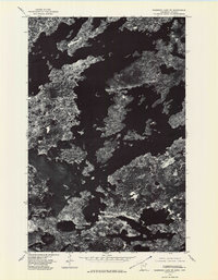
1976 · Basswood Lake SE
USGS Topo · 1:24,000