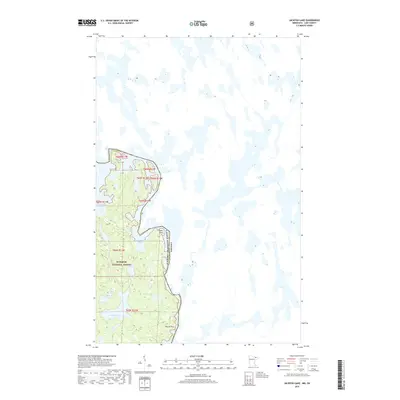
2019 Map of Jackfish Lake
USGS Topo · Published 2019About this map
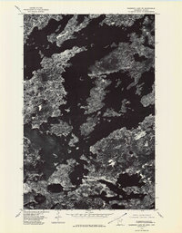
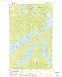
Superior National Forest encompasses the western portion of this 2019 survey, defining a landscape of interconnected waterways along the international boundary between Canada and the United States of America. This northern borderland is characterized by an intricate network of glacial lakes and rock formations, where the shoreline of Crooked Lake winds through Thursday Bay and Wednesday Bay. The interior terrain is dotted with smaller named basins, including Sauna Lake, Sash Lake, and the larger Jackfish Lake. Distinctive landmarks such as Picture Rock and Table Rock serve as navigational markers in this roadless wilderness. The map captures the complex hydrography of the region before the northern waters transition toward Circle Lake and Frolic Lake, illustrating the topographical continuity of the Boundary Waters area.
Find a feature on this map
15 named features on this map. Tap any name to fly to it.
Don’t see what you’re looking for? This feature index may not catch every label — zoom into the map to look around manually.
Map Details
Editions of this 2019 Jackfish Lake Map
This is the sole edition of this map. No revisions or reprints were ever made.
Other maps of this area

1957 · Basswood Lake
USGS Topo · 1:62,500

1957 · Quetico
USGS Topo · 1:250,000

1963 · Fourtown Lake
USGS Topo · 1:24,000
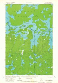
1963 · Friday Bay
USGS Topo · 1:24,000

1968 · Quetico
USGS Topo · 1:250,000
1976 · Basswood Lake SW
USGS Topo · 1:24,000
1976 · Basswood Lake NW
USGS Topo · 1:24,000
1976 · Basswood Lake SE
USGS Topo · 1:24,000

1977 · Basswood Lake
USGS Topo · 1:100,000
1981 · Basswood Lake West
USGS Topo · 1:24,000