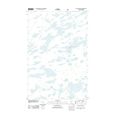
2011 Map of Ensign Lake East
USGS Topo · Published 2011About this map
South Arm Knife Lake and Ensign Lake dominate this borderland landscape, illustrating the intricate network of waterways defining the Minnesota-Ontario boundary. The terrain is characterized by a high density of interconnected water bodies, from the sprawling Ima Lake in the south to Portage Lake and Melon Lake further north. These natural corridors, linked by historical transit points like Carp Portage, reflect the traditional reliance on canoe travel through this lake-rich region.
Find a feature on this map
40 named features on this map. Tap any name to fly to it.
Don’t see what you’re looking for? This feature index may not catch every label — zoom into the map to look around manually.
Map Details
Editions of this 2011 Ensign Lake East Map
This is the sole edition of this map. No revisions or reprints were ever made.
Other maps of this area
1954 · Two Harbors
USGS Topo · 1:250,000
1957 · Two Harbors
USGS Topo · 1:250,000
1957 · Ensign Lake
USGS Topo · 1:62,500
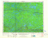
1957 · Quetico
USGS Topo · 1:250,000
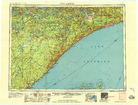
1958 · Two Harbors
USGS Topo · 1:250,000
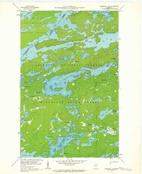
1959 · Kekekabic Lake
USGS Topo · 1:24,000
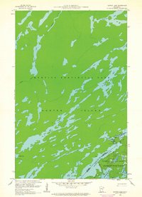
1959 · Dutton Lake
USGS Topo · 1:24,000
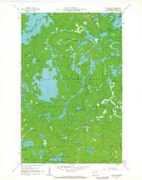
1960 · Alice Lake
USGS Topo · 1:24,000
1964 · Two Harbors
USGS Topo · 1:250,000
1968 · Quetico
USGS Topo · 1:250,000