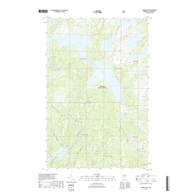
2019 Map of Gabbro Lake
USGS Topo · Published 2019About this map
Superior National Forest encompasses this aquatic landscape, where the interconnected waters of Gabbro Lake, Little Gabbro Lake, and Bald Eagle Lake dominate the northern terrain. The movement through this dense wilderness is defined by seasonal pathways and water routes, including the Isabella River and Snake River. Notable transit corridors like the Old Man-Winter Dogsled Trail and Cobalt Creek Winter route reflect the specialized winter transport necessary in the Lake County backcountry.
Find a feature on this map
32 named features on this map. Tap any name to fly to it.
Don’t see what you’re looking for? This feature index may not catch every label — zoom into the map to look around manually.
Map Details
Editions of this 2019 Gabbro Lake Map
This is the sole edition of this map. No revisions or reprints were ever made.
Other maps of this area

1954 · Greenwood Lake
USGS Topo · 1:62,500

1954 · Two Harbors
USGS Topo · 1:250,000

1955 · Isabella
USGS Topo · 1:62,500

1957 · Two Harbors
USGS Topo · 1:250,000

1957 · Gabbro Lake
USGS Topo · 1:62,500

1958 · Two Harbors
USGS Topo · 1:250,000

1964 · Two Harbors
USGS Topo · 1:250,000
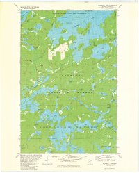
1981 · Snowbank Lake
USGS Topo · 1:24,000
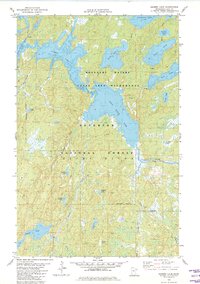
1981 · Gabbro Lake
USGS Topo · 1:24,000
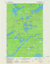
1981 · Ojibway Lake
USGS Topo · 1:24,000