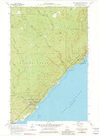
1956 Map of Split Rock Point
USGS Topo · Published 1982About this map
Split Rock Lighthouse stands as a prominent sentinel over the North Shore of Lake Superior in this mid-century survey. The landscape is defined by the sharp transition from the elevated timberlands of Silver Creek and Beaver Bay to the rocky shoreline punctuated by Corundum Point and Split Rock Point. The map documents a rugged coastal economy transitioning into a recreational one, as evidenced by the establishment of Split Rock Lighthouse State Park and Gooseberry Falls State Park along the Lake Superior shore.
Find a feature on this map
24 named features on this map. Tap any name to fly to it.
Don’t see what you’re looking for? This feature index may not catch every label — zoom into the map to look around manually.
Map Details
Editions of this 1956 Split Rock Point Map
3 editions found
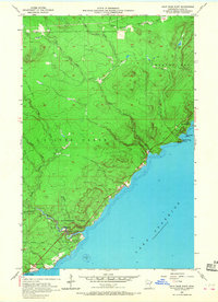
Other maps of this area

1953 · Whyte
USGS Topo · 1:62,500

1954 · Silver Bay
USGS Topo · 1:62,500

1954 · Two Harbors
USGS Topo · 1:250,000

1956 · Split Rock Point
USGS Topo · 1:24,000

1956 · Split Rock Point
USGS Topo · 1:62,500

1956 · Split Rock Point NE
USGS Topo · 1:24,000

1957 · Two Harbors
USGS Topo · 1:250,000

1957 · Two Harbors
USGS Topo · 1:62,500

1957 · Two Harbors NE
USGS Topo · 1:24,000

1957 · Castle Danger
USGS Topo · 1:24,000