
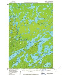
1957 Map of Basswood Lake
USGS Topo · Published 1959About this map
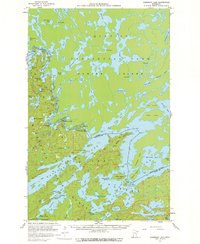
Quetico Provincial Park and the complex waterways of the international boundary define this mid-century survey of the borderlands. The landscape is dominated by the vast Hunter Island and a dense network of lakes including Isabella Lake, Sarah Lake, and the bays of Crooked Lake. Human presence in this wilderness is marked by the Quetico Wilderness Research Center and a Trading Post near the southern edge of the sheet. The map illustrates the 1950s state of these remote waters, showing specific navigation and research landmarks like the Gaging Station and the Cem on Washington Island. Small islands such as Lincoln Island, Squirrel Island, and New York Island are meticulously charted, reflecting the intricate geography of the region before modern development patterns fully reached these northern reaches.
Find a feature on this map
80 named features on this map. Tap any name to fly to it.
Don’t see what you’re looking for? This feature index may not catch every label — zoom into the map to look around manually.
Map Details
Editions of this 1957 Basswood Lake Map
3 editions found
Other maps of this area

1933 · Ely
USGS Topo · 1:62,500

1939 · Ely
USGS Topo · 1:62,500

1954 · Two Harbors
USGS Topo · 1:250,000

1957 · Two Harbors
USGS Topo · 1:250,000

1957 · Gabbro Lake
USGS Topo · 1:62,500

1957 · Ensign Lake
USGS Topo · 1:62,500

1957 · Quetico
USGS Topo · 1:250,000

1958 · Two Harbors
USGS Topo · 1:250,000

1963 · Fourtown Lake
USGS Topo · 1:24,000
1963 · Friday Bay
USGS Topo · 1:24,000