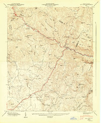
1947 Map of Bat Cave
USGS Topo · Published 1947About this map
The Tennessee Valley Divide and Blue Ridge Divide define this portion of the western North Carolina mountains, where high ridges separate the drainages of the Broad River and the Hungry River. Settled communities like Gerton, Bat Cave, and Edneyville are anchored by local institutions such as St Pauls Ch, Mt Moriah Ch, and St Peters Sch. The landscape is dominated by vertical features, including the notable Chimney Rock and the steep passage at Hickorynut Gap.
Find a feature on this map
84 named features on this map. Tap any name to fly to it.
Don’t see what you’re looking for? This feature index may not catch every label — zoom into the map to look around manually.
Map Details
Editions of this 1947 Bat Cave Map
2 editions found
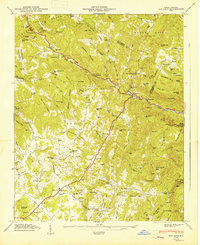
Other maps of this area

1900 · Mount Mitchell
USGS Topo · 1:125,000

1902 · Mount Mitchell
USGS Topo · 1:125,000

1907 · Saluda
USGS Topo · 1:125,000

1935 · Batcave
USGS Topo · 1:24,000

1935 · Hendersonville
USGS Topo · 1:24,000

1935 · Black Mountain
USGS Topo · 1:24,000

1935 · Fishtop
USGS Topo · 1:24,000

1936 · Fruitland
USGS Topo · 1:24,000

1941 · Black Mountain
USGS Topo · 1:24,000

1942 · Fruitland
USGS Topo · 1:24,000