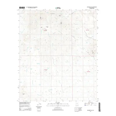
2014 Map of Batamote Hills
USGS Topo · Published 2014About this map
The Sierrita Mountains dominate the northern landscape of this Pima County region, where the terrain transitions from high desert peaks into a complex network of drainage basins. Ranching infrastructure is evident throughout the terrain, with numerous water catchments like Adobe House Tank, Kemper Tank, and Batamote Pasture Tank distributed across the valleys to support livestock. These features, along with the presence of McGee Ranch Rd, illustrate the long-standing land use patterns in this part of Arizona.
Find a feature on this map
48 named features on this map. Tap any name to fly to it.
Don’t see what you’re looking for? This feature index may not catch every label — zoom into the map to look around manually.
Map Details
Editions of this 2014 Batamote Hills Map
This is the sole edition of this map. No revisions or reprints were ever made.
Other maps of this area

1920 · Arivaca
USGS Topo · 1:125,000

1925 · Samaniego Peak
USGS Topo · 1:62,500

1939 · Twin Buttes
USGS Topo · 1:62,500

1939 · Tubac
USGS Topo · 1:62,500

1940 · Palo Alto Ranch
USGS Topo · 1:62,500

1941 · Twin Buttes
USGS Topo · 1:62,500

1941 · Arivaca
USGS Topo · 1:62,500

1943 · Arivaca
USGS Topo · 1:62,500

1943 · Palo Alto Ranch
USGS Topo · 1:62,500

1943 · Tubac
USGS Topo · 1:62,500