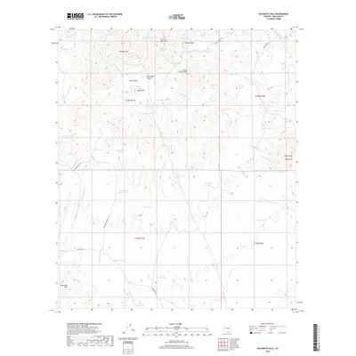
2018 Map of Batamote Hills
USGS Topo · Published 2018About this map
The Sierrita Mountains define the high ground of this Pima County landscape, where elevation shifts across prominent summits like Red Boy Peak and Ritchey Peak. This desert terrain is etched by an intricate network of drainage systems, including Tascuela Wash and the expansive Escondido Wash. Land use in the early 21st century is evidenced by a series of ranching-related water features such as Black Hawk Tank, Kidoo Tank, and the Champurrado Wash Tank. These tanks and ponds are vital landmarks for navigating the arid basins between the Batamote Hills and the Tinaja Hills. Transport across the region is facilitated by local connectors such as San Juan Ranch Rd and Batamote Rd, which provide access through the canyons and foothills that characterize this southwestern Arizona environment.
Find a feature on this map
50 named features on this map. Tap any name to fly to it.
Don’t see what you’re looking for? This feature index may not catch every label — zoom into the map to look around manually.
Map Details
Editions of this 2018 Batamote Hills Map
This is the sole edition of this map. No revisions or reprints were ever made.
Other maps of this area

1920 · Arivaca
USGS Topo · 1:125,000

1925 · Samaniego Peak
USGS Topo · 1:62,500

1939 · Twin Buttes
USGS Topo · 1:62,500

1939 · Tubac
USGS Topo · 1:62,500

1940 · Palo Alto Ranch
USGS Topo · 1:62,500

1941 · Twin Buttes
USGS Topo · 1:62,500

1941 · Arivaca
USGS Topo · 1:62,500

1943 · Arivaca
USGS Topo · 1:62,500

1943 · Palo Alto Ranch
USGS Topo · 1:62,500

1943 · Tubac
USGS Topo · 1:62,500