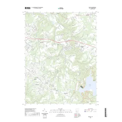
2023 Map of Batavia
USGS Topo · Published 2023About this map
The Clermont County Courthouse and Clermont County Municipal Court define the civic heart of Batavia, which sits alongside the winding East Fork Little Miami River. This 2023 edition highlights a landscape where civic institutions and educational hubs like the University of Cincinnati - Clermont College meet a deep historical record of regional burials. Cemeteries such as Batavia Union Cem, the Amelia Methodist Episcopal Cem, and the Old Bethel Cem near Bantam provide invaluable data for genealogical research.
Find a feature on this map
242 named features on this map. Tap any name to fly to it.
Don’t see what you’re looking for? This feature index may not catch every label — zoom into the map to look around manually.
Map Details
Editions of this 2023 Batavia Map
This is the sole edition of this map. No revisions or reprints were ever made.
Other maps of this area

1898 · East Cincinnati
USGS Topo · 1:62,500

1914 · East Cincinnati
USGS Topo · 1:62,500

1914 · Batavia
USGS Topo · 1:48,000

1916 · Batavia
USGS Topo · 1:62,500

1929 · Alexandria
USGS Topo · 1:48,000

1931 · Felicity
USGS Topo · 1:62,500

1936 · Alexandria
USGS Topo · 1:62,500

1953 · Laurel
USGS Topo · 1:24,000

1953 · Withamsville
USGS Topo · 1:24,000

1953 · Bethel
USGS Topo · 1:24,000