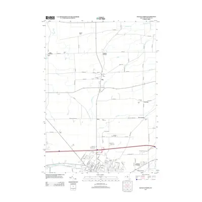
2013 Map of Batavia North
USGS Topo · Published 2013About this map
Oak Orchard Creek and its tributaries carve a path through the agricultural landscape north of Batavia, defining the geography of this Genesee County region. In this early twenty-first-century survey, the village of Elba serves as a central hub, surrounded by smaller hamlets like East Oakfield, Langton Corners, and Daws. The map reveals a high density of burial grounds, including Pine Hill Cemetery and Maplelawn Cemetery, which provide significant points of interest for genealogists tracing local families. Further south, the urban fringe of Batavia emerges, featuring regional infrastructure such as the Genesee County Airport and Genesee Community College. The landscape is dominated by a grid of rural roads and the prominent Bulgary Ridge, showing the modern distribution of residential developments like Country Meadows and My-T Acres alongside long-established landmarks like McArthur Stadium and the South Lyon Street Bridge.
Find a feature on this map
110 named features on this map. Tap any name to fly to it.
Don’t see what you’re looking for? This feature index may not catch every label — zoom into the map to look around manually.
Map Details
Editions of this 2013 Batavia North Map
This is the sole edition of this map. No revisions or reprints were ever made.
Other maps of this area

1897 · Albion
USGS Topo · 1:62,500

1897 · Medina
USGS Topo · 1:62,500

1904 · Batavia
USGS Topo · 1:62,500

1905 · Attica
USGS Topo · 1:62,500

1944 · Alexander
USGS Topo · 1:31,680

1944 · Holley
USGS Topo · 1:31,680

1944 · Byron
USGS Topo · 1:31,680

1944 · Stafford
USGS Topo · 1:31,680

1944 · Albion
USGS Topo · 1:31,680

1949 · Attica
USGS Topo · 1:62,500