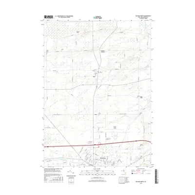
2016 Map of Batavia North
USGS Topo · Published 2016About this map
Batavia and its northern surroundings are defined by a mix of organized aviation, higher education, and extensive wetlands. The landscape transitions from the urbanized streets of northern Batavia, featuring the South Lyon Street Bridge, to the sprawling agricultural and marshy reaches of Oak Orchard Swamp and Galloway Swamp. Central to the region is the Genesee County Airport, situated near the residential developments of H Bennett Hts and S Bennett Hts.
Find a feature on this map
89 named features on this map. Tap any name to fly to it.
Don’t see what you’re looking for? This feature index may not catch every label — zoom into the map to look around manually.
Map Details
Editions of this 2016 Batavia North Map
This is the sole edition of this map. No revisions or reprints were ever made.
Other maps of this area

1897 · Albion
USGS Topo · 1:62,500

1897 · Medina
USGS Topo · 1:62,500

1904 · Batavia
USGS Topo · 1:62,500

1905 · Attica
USGS Topo · 1:62,500

1944 · Alexander
USGS Topo · 1:31,680

1944 · Holley
USGS Topo · 1:31,680

1944 · Byron
USGS Topo · 1:31,680

1944 · Stafford
USGS Topo · 1:31,680

1944 · Albion
USGS Topo · 1:31,680

1949 · Attica
USGS Topo · 1:62,500