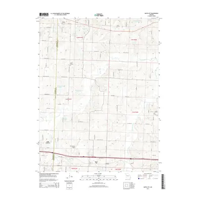
2014 Map of Bates City
USGS Topo · Published 2014About this map
Bates City and the eastern edge of Oak Grove anchor this landscape along the border of Jackson and Lafayette Counties. This era of development is defined by the heavy presence of agricultural infrastructure and rural road networks like Old Highway 40 and Outer Rd, which parallel the modern interstate corridor. The drainage basin of Sni-A-Bar Cr and its many tributaries, including E Fork Sni-A-Bar Cr and Little Horseshoe Cr, create a rolling topography dotted with private water bodies such as Holiday Lake and Beekemeyer Lake. Genealogists will find significant value in the preservation of several rural burial grounds, including Anderson Cemetery, Arnold Cemetery, Pleasant Prairie Cemetery, and Bates City Cemetery, which provide geographic context for family lineages in this region of Missouri. The Harry S Truman Regional Airport serves as a modern landmark amidst these established rural settlements.
Find a feature on this map
58 named features on this map. Tap any name to fly to it.
Don’t see what you’re looking for? This feature index may not catch every label — zoom into the map to look around manually.
Map Details
Editions of this 2014 Bates City Map
This is the sole edition of this map. No revisions or reprints were ever made.
Other maps of this area

1885 · Warrensburg
USGS Topo · 1:125,000

1887 · Harrisonville
USGS Topo · 1:125,000

1887 · Warrensburg
USGS Topo · 1:125,000

1889 · Lexington
USGS Topo · 1:125,000

1892 · Harrisonville
USGS Topo · 1:125,000

1894 · Harrisonville
USGS Topo · 1:125,000

1894 · Independence
USGS Topo · 1:125,000

1894 · Warrensburg
USGS Topo · 1:125,000

1934 · Oak Grove
USGS Topo · 1:24,000

1935 · Buckner
USGS Topo · 1:24,000