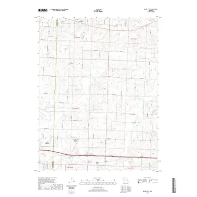
2017 Map of Bates City
USGS Topo · Published 2017About this map
Bates City and Oak Grove anchor the southern portion of this region along the border of Jackson and Lafayette Counties. This area is defined by the winding course of Sni-A-Bar Creek and its many branches, including the East Fork Sni-A-Bar Creek and Little Horseshoe Creek. A significant historical landmark is the Old Santa Fe Trail, which cuts across the northern terrain south of Napoleon.
Find a feature on this map
72 named features on this map. Tap any name to fly to it.
Don’t see what you’re looking for? This feature index may not catch every label — zoom into the map to look around manually.
Map Details
Editions of this 2017 Bates City Map
This is the sole edition of this map. No revisions or reprints were ever made.
Other maps of this area

1885 · Warrensburg
USGS Topo · 1:125,000

1887 · Harrisonville
USGS Topo · 1:125,000

1887 · Warrensburg
USGS Topo · 1:125,000

1889 · Lexington
USGS Topo · 1:125,000

1892 · Harrisonville
USGS Topo · 1:125,000

1894 · Harrisonville
USGS Topo · 1:125,000

1894 · Independence
USGS Topo · 1:125,000

1894 · Warrensburg
USGS Topo · 1:125,000

1934 · Oak Grove
USGS Topo · 1:24,000

1935 · Buckner
USGS Topo · 1:24,000