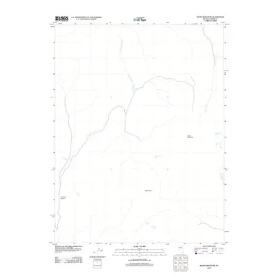
2012 Map of Bates Mountain
USGS Topo · Published 2012About this map
Indian Ranch Spring and several other remote water sources anchor this high-desert landscape in central Nevada. The terrain is defined by the prominent Bates Mountain to the east and the sharp rise of Eagle Butte in the south-central portion of the quadrangle. These springs, including Rye Patch Spring and Bates Mountain Spring, represent critical landmarks in an arid environment where drainage is funneled through features like Rye Patch Canyon and Crooked Canyon Creek.
Find a feature on this map
12 named features on this map. Tap any name to fly to it.
Don’t see what you’re looking for? This feature index may not catch every label — zoom into the map to look around manually.
Map Details
Editions of this 2012 Bates Mountain Map
This is the sole edition of this map. No revisions or reprints were ever made.
Other maps of this area

1926 · Roberts Mountains
USGS Topo · 1:250,000

1929 · Roberts Mountains
USGS Topo · 1:250,000

1955 · Millett
USGS Topo · 1:250,000

1956 · Mount Callaghan
USGS Topo · 1:62,500

1956 · Ackerman Canyon
USGS Topo · 1:62,500

1959 · Millett
USGS Topo · 1:250,000

1960 · Hickison Summit
USGS Topo · 1:62,500

1960 · Spencer Hot Springs
USGS Topo · 1:62,500

1978 · Summit Mountain
USGS Topo · 1:100,000

1979 · Simpson Park Mtns
USGS Topo · 1:100,000