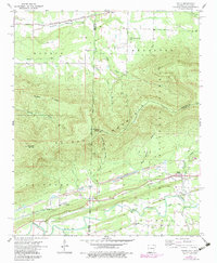
1958 Map of Bates
USGS Topo · Published 1979About this map
Poteau Mountain dominates the center of this landscape, its massive ridge line straddling the boundary between Arkansas and Oklahoma. The map reveals a rugged industrial and agricultural corridor following the Kansas City Southern railroad line and the Poteau River. Scattered throughout the valley are several small settlements including Bates, Coaldale, and Weeks, which served as hubs for the local extraction economy. Extensive Strip Mine operations and individual Mine locations are marked along the southern slopes, particularly near Hiawatha. Local genealogy is well-documented through numerous family and community landmarks such as Black Cemetery, Gipson Cemetery, and the West Harmony Church. The northern portion of the map transitions into the more open drainages of Wilson Creek and Sugarloaf Creek, while the central heights are preserved within the Ouachita National Forest.
Find a feature on this map
36 named features on this map. Tap any name to fly to it.
Don’t see what you’re looking for? This feature index may not catch every label — zoom into the map to look around manually.
Map Details
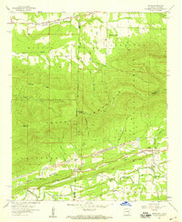
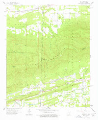
Editions of this 1958 Bates Map
3 editions found
Other maps of this area

1887 · Poteau Mountain #2
USGS Topo · 1:62,500

1887 · Greenwood
USGS Topo · 1:62,500

1890 · Fort Smith
USGS Topo · 1:125,000

1890 · Poteau Mountain
USGS Topo · 1:125,000

1899 · Poteau Mountain
USGS Topo · 1:125,000

1900 · Sallisaw
USGS Topo · 1:125,000

1900 · Winding Stair
USGS Topo · 1:125,000

1909 · Winding Stair
USGS Topo · 1:125,000

1911 · Sallisaw
USGS Topo · 1:125,000

1943 · Fort Smith
USGS Topo · 1:125,000