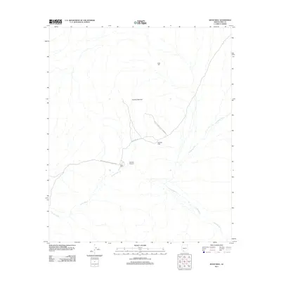
2011 Map of Bates Well
USGS Topo · Published 2011About this map
Bates Well serves as a primary reference point in this arid reach of Pima County, situated at the southern end of Growler Canyon. The landscape is defined by the drainage networks of Growler Wash, Cherioni Wash, and Cuerda de Lena, which illustrate the natural water flow through this Sonoran Desert environment. Much of the territory falls within the protected boundaries of Organ Pipe Cactus Natl Monument, where topography is dominated by Scarface Mountain and Lime Hill. The lone arterial connection, Bates Well Rd, threads through Growler Pass, providing a window into the remote logistical challenges and natural barriers that have historically shaped travel and ranching in this borderland region.
Find a feature on this map
10 named features on this map. Tap any name to fly to it.
Don’t see what you’re looking for? This feature index may not catch every label — zoom into the map to look around manually.
Map Details
Editions of this 2011 Bates Well Map
This is the sole edition of this map. No revisions or reprints were ever made.
Other maps of this area

1932 · Ajo
USGS Topo · 1:62,500

1934 · Ajo
USGS Topo · 1:62,500

1953 · Ajo
USGS Topo · 1:250,000

1957 · Ajo
USGS Topo · 1:250,000

1958 · Ajo
USGS Topo · 1:250,000

1962 · Ajo
USGS Topo · 1:250,000

1963 · Ajo
USGS Topo · 1:250,000

1963 · Ajo
USGS Topo · 1:62,500

1963 · Kino Peak
USGS Topo · 1:62,500

1964 · Growler Peak
USGS Topo · 1:62,500