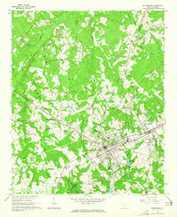
1964 Map of Batesburg
USGS Topo · Published 1965About this map
The twin hubs of Batesburg and Leesville dominate this mid-century survey of the South Carolina Midlands. Situated along the Southern railroad line, these communities show a mature infrastructure of the era, featuring an Armory, a Filtration Plant, and the St Euphrasia Sch. The surrounding landscape is a densely settled rural network of family-named cemeteries and country churches, reflecting generations of residency in the borderlands of Saluda and Lexington counties.
Find a feature on this map
86 named features on this map. Tap any name to fly to it.
Don’t see what you’re looking for? This feature index may not catch every label — zoom into the map to look around manually.
Map Details
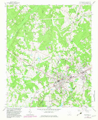
Editions of this 1964 Batesburg Map
2 editions found
Other maps of this area

1904 · Columbia
USGS Topo · 1:125,000

1941 · Spartanburg
USGS Topo · 1:250,000

1944 · Gilbert
USGS Topo · 1:62,500

1953 · Spartanburg
USGS Topo · 1:250,000

1954 · Augusta
USGS Topo · 1:250,000

1957 · Augusta
USGS Topo · 1:250,000

1958 · Augusta
USGS Topo · 1:250,000

1960 · Spartanburg
USGS Topo · 1:250,000

1961 · Augusta
USGS Topo · 1:250,000

1962 · Augusta
USGS Topo · 1:250,000
Featured Places
- Hibernia, SC
- Holston Crossroads, SC
- Leesville, Batesburg-Leesville
- Batesburg, Batesburg-Leesville
- Batesburg-Leesville, SC