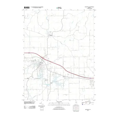
2010 Map of Batesville
USGS Topo · Published 2010About this map
The settlement of Oldenburg serves as a cultural anchor in this southern Indiana landscape, characterized by its grid of named roads and significant water management infrastructure. Near the turn of the 21st century, the region shows a dense network of reservoirs and dams, such as Bischoff Reservoir and Mollenkramer Reservoir, which sit southeast of the city of Batesville. The map captures the transition between the urban core of the city and the surrounding rural communities like Huntersville and Morris. Local history and genealogy are well-represented by several burial grounds, including Saint Johns Cemetery and Saint Pauls Cemetery. The landscape is etched by the paths of Salt Creek and Harvey Branch, which navigate a terrain increasingly defined by residential growth and improved transportation corridors like Six Pine Ranch Rd.
Find a feature on this map
67 named features on this map. Tap any name to fly to it.
Don’t see what you’re looking for? This feature index may not catch every label — zoom into the map to look around manually.
Map Details
Editions of this 2010 Batesville Map
This is the sole edition of this map. No revisions or reprints were ever made.
Other maps of this area

1946 · Pierceville
USGS Topo · 1:24,000

1946 · Batesville
USGS Topo · 1:24,000

1946 · Osgood
USGS Topo · 1:24,000

1946 · New Point
USGS Topo · 1:24,000

1953 · Cincinnati
USGS Topo · 1:250,000

1956 · Metamora
USGS Topo · 1:24,000

1956 · Brookville
USGS Topo · 1:24,000

1957 · Cincinnati
USGS Topo · 1:250,000

1958 · Spades
USGS Topo · 1:24,000

1958 · Clarksburg
USGS Topo · 1:24,000