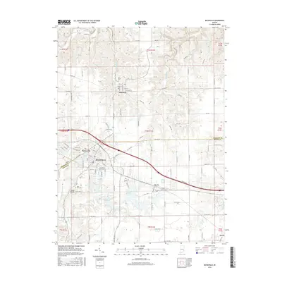
2016 Map of Batesville
USGS Topo · Published 2016About this map
The boundary between Franklin and Ripley counties divides a landscape defined by significant water management and small-town growth in this mid-2010s survey. Batesville acts as the central hub, surrounded by a series of critical reservoirs such as Bischoff Reservoir, Mollenkramer Reservoir, Hahn Reservoir, and Oester Reservoir. These local water bodies, along with Sycamore Lake and Feller Reservoir, illustrate a managed hydrological network designed to support the region's agricultural and municipal needs.
Find a feature on this map
71 named features on this map. Tap any name to fly to it.
Don’t see what you’re looking for? This feature index may not catch every label — zoom into the map to look around manually.
Map Details
Editions of this 2016 Batesville Map
This is the sole edition of this map. No revisions or reprints were ever made.
Other maps of this area

1946 · Pierceville
USGS Topo · 1:24,000

1946 · Batesville
USGS Topo · 1:24,000

1946 · Osgood
USGS Topo · 1:24,000

1946 · New Point
USGS Topo · 1:24,000

1953 · Cincinnati
USGS Topo · 1:250,000

1956 · Metamora
USGS Topo · 1:24,000

1956 · Brookville
USGS Topo · 1:24,000

1957 · Cincinnati
USGS Topo · 1:250,000

1958 · Spades
USGS Topo · 1:24,000

1958 · Clarksburg
USGS Topo · 1:24,000