Loading...
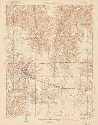
Loading map...1946 Map of Batesville
USGS Topo · Published 1946About this map
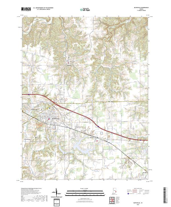
Batesville serves as the primary hub of this mid-century landscape, positioned along the busy New York Central railroad corridor. The town's grid expands toward the neighboring community of Huntersville, while the Franklin Co Ripley Co boundary line bisects the northern half of the survey. Significant local landmarks like Liberty Park and the Camp Bee Girl Scout Camp suggest a region well-established with social and recreational spaces for the post-war population.
Find a feature on this map
22 named features on this map. Tap any name to fly to it.
Don’t see what you’re looking for? This feature index may not catch every label — zoom into the map to look around manually.
Map Details
Date Portrayed1946
Date Published1946
PublisherU.S. Geological Survey
Map TypeTopographic
Scale1:24,000
Physical Dimensions20.16 x 25.8 inches
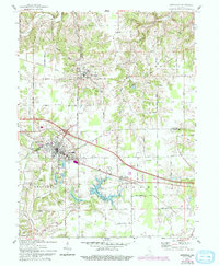
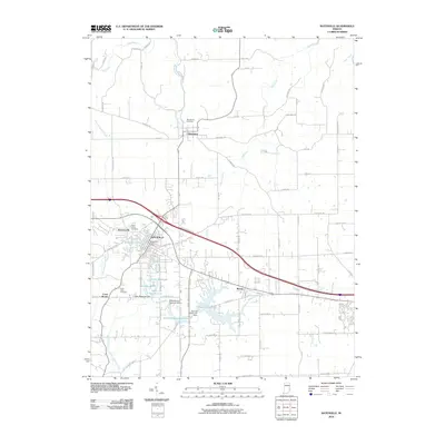
Editions of this 1946 Batesville Map
2 editions found
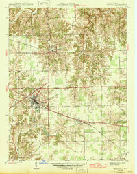
Historical Maps of Batesville Through Time
7 maps found
Featured Locations
Source Details
SourceU.S. Geological Survey
CopyrightPublic Domain