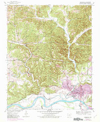
1943 Map of Batesville
USGS Topo · Published 1982About this map
The White River and Polk Bayou anchor this 1940s landscape, illustrating the industrial and social development of Batesville. The Missouri Pacific railroad serves as a critical artery, connecting the urban core to outlying industrial sites like Scheid Quarry and transit hubs such as Cushman Junction. The presence of the Masonic Home and several community landmarks, including West Batesville High Sch and Mt Zion church, reflects a well-established civic life during the mid-twentieth century.
Find a feature on this map
46 named features on this map. Tap any name to fly to it.
Don’t see what you’re looking for? This feature index may not catch every label — zoom into the map to look around manually.
Map Details
Editions of this 1943 Batesville Map
4 editions found

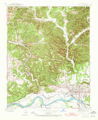
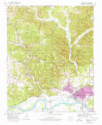
Other maps of this area

1890 · Batesville
USGS Topo · 1:125,000

1891 · Batesville
USGS Topo · 1:125,000

1942 · Bethesda
USGS Topo · 1:24,000

1942 · Jamestown
USGS Topo · 1:31,680

1942 · Almond
USGS Topo · 1:31,680

1942 · Salado
USGS Topo · 1:31,680

1942 · Batesville
USGS Topo · 1:31,680

1942 · Mt Pleasant
USGS Topo · 1:31,680

1943 · Sandtown
USGS Topo · 1:24,000

1943 · Cave City
USGS Topo · 1:31,680