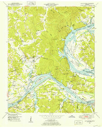
1949 Map of Bath Springs
USGS Topo · Published 1952About this map
Kentucky Lake dominates this 1940s landscape, representing the recently transformed Tennessee River corridor where the river meets the borders of Decatur, Perry, Wayne, and Hardin Counties. The terrain is defined by its numerous named landings, such as Patriot Landing, Turner Landing, and Patterson Landing, which point to a long history of river-dependent commerce and transportation. On the western heights, the community of Bath Springs sits near Sulphur Spring, while the surrounding ridges are dotted with legacy institutions like Center School and Mt Nebo Church.
Find a feature on this map
97 named features on this map. Tap any name to fly to it.
Don’t see what you’re looking for? This feature index may not catch every label — zoom into the map to look around manually.
Map Details
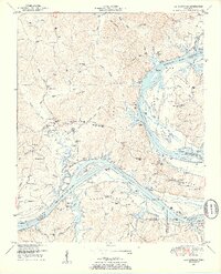
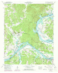
Editions of this 1949 Bath Springs Map
3 editions found
Other maps of this area

1905 · Waynesboro
USGS Topo · 1:125,000

1936 · Hookers Bend
USGS Topo · 1:24,000

1936 · Scotts Hill
USGS Topo · 1:24,000

1936 · Eagle Creek
USGS Topo · 1:24,000

1936 · Thurman
USGS Topo · 1:24,000

1936 · Olivehill
USGS Topo · 1:24,000

1936 · Bath Springs
USGS Topo · 1:24,000

1936 · Clifton
USGS Topo · 1:24,000

1936 · Perryville
USGS Topo · 1:24,000

1936 · Pope
USGS Topo · 1:24,000