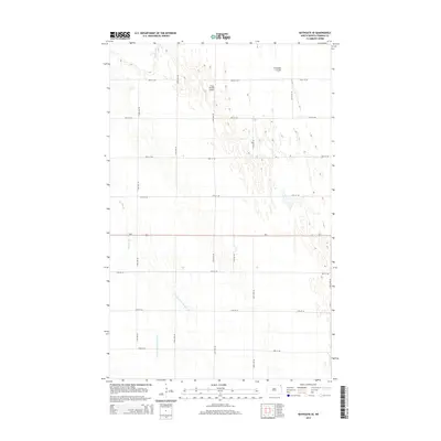
2014 Map of Bathgate SE
USGS Topo · Published 2014About this map
Tongue River meanders through the northwestern corner of this Pembina County landscape, a region defined by its intensive agricultural drainage and geometric grid of rural roads. This 2014 survey reveals a highly engineered hydrological environment where natural features like Icelandic Coulee and the wide depression of Big Slough are supplemented by man-made systems, including County Ditch Number 164 and County Ditch Number 16. These ditches are essential for managing the flat terrain of the Red River Valley. The area is anchored by the east-west corridor of ND-5, while the Craig Private Airport sits as a lonely landmark among the vast sections of farmland. A strict network of numerical roads, such as 155th Ave NE and 98th St NE, organizes the territory into the traditional township and range squares characteristic of the Great Plains.
Find a feature on this map
21 named features on this map. Tap any name to fly to it.
Don’t see what you’re looking for? This feature index may not catch every label — zoom into the map to look around manually.
Map Details
Editions of this 2014 Bathgate SE Map
This is the sole edition of this map. No revisions or reprints were ever made.
Other maps of this area

1939 · Drayton
USGS Topo · 1:62,500

1939 · Glasston
USGS Topo · 1:62,500

1939 · Pembina
USGS Topo · 1:62,500

1941 · Drayton
USGS Topo · 1:62,500

1941 · Glasston
USGS Topo · 1:62,500

1941 · Bathgate
USGS Topo · 1:62,500

1941 · Pembina
USGS Topo · 1:62,500

1952 · Thief River Falls
USGS Topo · 1:250,000

1956 · Thief River Falls
USGS Topo · 1:250,000

1957 · Thief River Falls
USGS Topo · 1:250,000