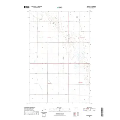
2020 Map of Bathgate SE
USGS Topo · Published 2020About this map
Tongue River and Icelandic Coulee define the northern drainage of this section of Pembina County, where the flat Red River Valley landscape is heavily managed by an intricate system of water control. The presence of County Ditch Number 16 and County Ditch Number 16A demonstrates the region's reliance on agricultural drainage to maintain its productive farmland. Evidence of long-standing local settlement appears at the Eastman Family Cem in the northwest, while the Craig Private Airport indicates more modern local infrastructure. The map reveals a highly structured grid of section lines and gravel routes like Carlisle Rd, which facilitate transport across the low-lying terrain near Big Slough.
Find a feature on this map
25 named features on this map. Tap any name to fly to it.
Don’t see what you’re looking for? This feature index may not catch every label — zoom into the map to look around manually.
Map Details
Editions of this 2020 Bathgate SE Map
This is the sole edition of this map. No revisions or reprints were ever made.
Other maps of this area

1939 · Drayton
USGS Topo · 1:62,500

1939 · Glasston
USGS Topo · 1:62,500

1939 · Pembina
USGS Topo · 1:62,500

1941 · Drayton
USGS Topo · 1:62,500

1941 · Glasston
USGS Topo · 1:62,500

1941 · Bathgate
USGS Topo · 1:62,500

1941 · Pembina
USGS Topo · 1:62,500

1952 · Thief River Falls
USGS Topo · 1:250,000

1956 · Thief River Falls
USGS Topo · 1:250,000

1957 · Thief River Falls
USGS Topo · 1:250,000