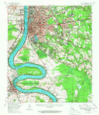
1963 Map of Baton Rouge
USGS Topo · Published 1967About this map
Baton Rouge sits at a critical bend of the Mississippi River, serving as a mid-century hub of education, industry, and government. The sprawling campus of Louisiana State University and A & M College anchors the south side of the city near University Lake, while the Baton Rouge Depot and Municipal Dock mark the riverfront's commercial importance. Across the water, Port Allen and Brusly represent the industrial and residential growth of West Baton Rouge Parish.
Find a feature on this map
153 named features on this map. Tap any name to fly to it.
Don’t see what you’re looking for? This feature index may not catch every label — zoom into the map to look around manually.
Map Details
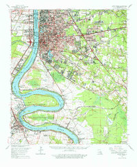
Editions of this 1963 Baton Rouge Map
2 editions found
Other maps of this area

1892 · Donaldsonville
USGS Topo · 1:62,500

1906 · Bayou Sara
USGS Topo · 1:125,000

1908 · Baton Rouge
USGS Topo · 1:62,500

1934 · Denham Springs
USGS Topo · 1:62,500

1935 · Gonzales
USGS Topo · 1:31,680

1935 · Chicot Lake
USGS Topo · 1:62,500

1936 · White Castle
USGS Topo · 1:62,500

1939 · Zachary
USGS Topo · 1:62,500

1939 · Denham Springs
USGS Topo · 1:62,500

1939 · Baton Rouge
USGS Topo · 1:62,500