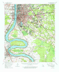
1963 Map of Baton Rouge
USGS Topo · Published 1977About this map
The Mississippi River creates a dramatic series of loops through this 1963 landscape, defining the boundaries between East Baton Rouge, West Baton Rouge, and Iberville Parishes. The state capital is shown in a period of mid-century expansion, with industrial developments and transportation hubs like the Baton Rouge Depot and the Downtown Airport integrated into the city grid. Significant agricultural history is preserved along the riverbanks, where estates such as St Louis Plantation and Cottage Plantation remain prominent features near the water's edge.
Find a feature on this map
157 named features on this map. Tap any name to fly to it.
Don’t see what you’re looking for? This feature index may not catch every label — zoom into the map to look around manually.
Map Details
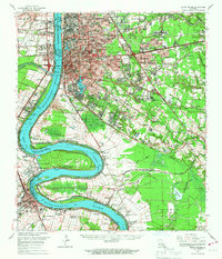
Editions of this 1963 Baton Rouge Map
2 editions found
Other maps of this area

1892 · Donaldsonville
USGS Topo · 1:62,500

1906 · Bayou Sara
USGS Topo · 1:125,000

1908 · Baton Rouge
USGS Topo · 1:62,500

1934 · Denham Springs
USGS Topo · 1:62,500

1935 · Gonzales
USGS Topo · 1:31,680

1935 · Chicot Lake
USGS Topo · 1:62,500

1936 · White Castle
USGS Topo · 1:62,500

1939 · Zachary
USGS Topo · 1:62,500

1939 · Denham Springs
USGS Topo · 1:62,500

1939 · Baton Rouge
USGS Topo · 1:62,500