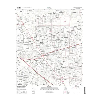
2015 Map of Baton Rouge East
USGS Topo · Published 2015About this map
The Comite River and several intricate bayous define the eastern expansion of Baton Rouge as it appeared in the mid-2010s. This survey illustrates a dense suburban network of residential developments such as Victoria Farm and Windfall, which replaced former agricultural lands and wooded tracts north of the city. Significant institutional and educational landmarks are present throughout the grid, including Our Lady of the Lake Coll and the Louisiana Culinary Institute.
Find a feature on this map
202 named features on this map. Tap any name to fly to it.
Don’t see what you’re looking for? This feature index may not catch every label — zoom into the map to look around manually.
Map Details
Editions of this 2015 Baton Rouge East Map
This is the sole edition of this map. No revisions or reprints were ever made.
Other maps of this area

1906 · Bayou Sara
USGS Topo · 1:125,000

1908 · Baton Rouge
USGS Topo · 1:62,500

1934 · Denham Springs
USGS Topo · 1:62,500

1939 · Zachary
USGS Topo · 1:62,500

1939 · Denham Springs
USGS Topo · 1:62,500

1939 · Baton Rouge
USGS Topo · 1:62,500

1942 · Watson
USGS Topo · 1:31,680

1953 · Baton Rouge West
USGS Topo · 1:24,000

1953 · Plaquemine
USGS Topo · 1:24,000

1953 · St. Gabriel
USGS Topo · 1:24,000