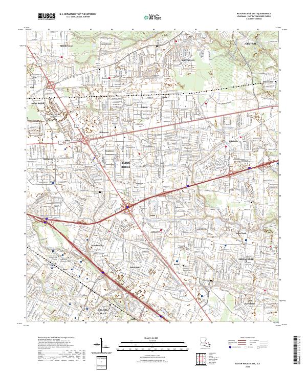
2024 Map of Baton Rouge East
USGS Topo · Published 2024About this map
The eastern landscape of Baton Rouge is a dense network of suburban expansion and historical pocket-sized landmarks, where early cemeteries remain preserved amidst modern corridors. Neighborhoods like Broadmoor, Inniswold, and Shenandoah occupy the spaces between major transit arteries such as Airline Hwy and Florida Blvd. The presence of numerous small family or community burial grounds, such as Little Misery Cem and Kleinpeter Cem, offers a stark contrast to the nearby Mall of Louisiana Blvd and the Louisiana Culinary Institute. This mix of established residential life and specialized institutions, including the World Evangelism Bible College and Seminary, characterizes the area's development.
Find a feature on this map
62 named features on this map. Tap any name to fly to it.
Don’t see what you’re looking for? This feature index may not catch every label — zoom into the map to look around manually.
Map Details
Editions of this 2024 Baton Rouge East Map
This is the sole edition of this map. No revisions or reprints were ever made.
Other maps of this area

1906 · Bayou Sara
USGS Topo · 1:125,000

1908 · Baton Rouge
USGS Topo · 1:62,500

1934 · Denham Springs
USGS Topo · 1:62,500

1939 · Zachary
USGS Topo · 1:62,500

1939 · Denham Springs
USGS Topo · 1:62,500

1939 · Baton Rouge
USGS Topo · 1:62,500

1942 · Watson
USGS Topo · 1:31,680

1953 · Baton Rouge West
USGS Topo · 1:24,000

1953 · Plaquemine
USGS Topo · 1:24,000

1953 · St. Gabriel
USGS Topo · 1:24,000