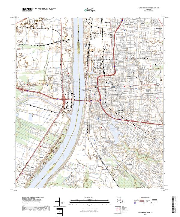
2024 Map of Baton Rouge West
USGS Topo · Published 2024About this map
The Mississippi River serves as the central divide for this riverfront landscape, separating Baton Rouge from the western parish seats and industrial corridors. On the east bank, the sprawling campus of Louisiana State University and the surrounding neighborhoods like Arlington and Collegetown dominate the southern portion of the city. To the north, the historic Istrouma Bluff overlooks the water, while a dense concentration of burial grounds including Magnolia Cem and the National Cemetery provides significant genealogical value near the city center.
Find a feature on this map
80 named features on this map. Tap any name to fly to it.
Don’t see what you’re looking for? This feature index may not catch every label — zoom into the map to look around manually.
Map Details
Editions of this 2024 Baton Rouge West Map
This is the sole edition of this map. No revisions or reprints were ever made.
Other maps of this area

1906 · Bayou Sara
USGS Topo · 1:125,000

1908 · Baton Rouge
USGS Topo · 1:62,500

1939 · Zachary
USGS Topo · 1:62,500

1939 · Baton Rouge
USGS Topo · 1:62,500

1940 · Grosse Tete
USGS Topo · 1:62,500

1953 · Baton Rouge West
USGS Topo · 1:24,000

1953 · Plaquemine
USGS Topo · 1:24,000

1953 · Lobdell
USGS Topo · 1:24,000

1953 · Addis
USGS Topo · 1:24,000

1953 · St. Gabriel
USGS Topo · 1:24,000