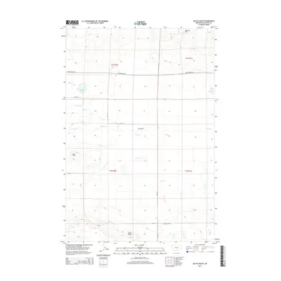
2014 Map of Battle Butte
USGS Topo · Published 2014About this map
Battle Butte and the surrounding high plains of Stillwater County define this portion of the Montana landscape. This modern survey illustrates a network of essential rural corridors, including the Molt-Rapelje Rd and Battle Butte Rd, which navigate a terrain marked by scattered water features such as Dallmann Lake and Lake Basin. The area is characterized by its distinct hydrography, with seasonal and permanent watercourses like Sixshooter Cr, Gurney Cr, and Greenwood Cr dissecting the township and range grid. To the north, the elevation rises toward Hailstone Basin, while the Twin Buttes stand as a clear landmark in the western sections. This map documents the persistent agricultural and ranching layout of the region, where roads like Wodrich Rd and Flat Rd connect isolated homesteads across the varied basins and creek beds.
Find a feature on this map
24 named features on this map. Tap any name to fly to it.
Don’t see what you’re looking for? This feature index may not catch every label — zoom into the map to look around manually.
Map Details
Editions of this 2014 Battle Butte Map
This is the sole edition of this map. No revisions or reprints were ever made.
Other maps of this area

1889 · Big Snowy Mountain
USGS Topo · 1:250,000

1892 · Stillwater
USGS Topo · 1:125,000

1893 · Big Snowy Mountain
USGS Topo · 1:250,000

1954 · Billings
USGS Topo · 1:250,000

1954 · Roundup
USGS Topo · 1:250,000

1956 · Rapelje
USGS Topo · 1:24,000

1956 · Hunter Lake
USGS Topo · 1:24,000

1956 · Battle Butte
USGS Topo · 1:24,000

1956 · Wheat Basin
USGS Topo · 1:24,000

1956 · Lindemulder Hill
USGS Topo · 1:24,000